
Sausalito Waterfront Living: What Locals Really Love
March 5, 2026
March 5, 2026
You picture mornings with gulls overhead, boats sliding past, and coffee on a deck above the bay. In Sausalito, that vision is real, and many residents say the feel of the water is part of daily life. Still, waterfront living comes with tradeoffs, from parking and maintenance to ferry schedules and long-term shoreline planning. In this guide, you’ll see what people truly enjoy, what to expect, and how to decide if a Sausalito address on or near the water fits you. Let’s dive in.
Sausalito rises quickly from the shoreline into steep hills, which gives each block its own light and wind. Many hillside homes sit above the morning marine layer and get more sun, while the lower waterfront can be cooler with bay breezes and fog on some summer mornings. If you care about sunshine on a deck versus cool morning air on the water, the exact orientation of a home matters. Walk the property at different times of day to see where light and wind land.
Bridgeway, the waterfront main street, concentrates cafes, galleries, and small shops. Residents enjoy quick walks along the water and outdoor dining with harbor views. Local writers often highlight this compact, walkable core and the boardwalk feel along the bay, which gives you a small-town routine with a front-row seat to the water.
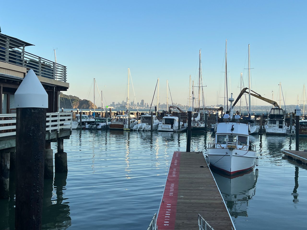
Sausalito lives on the water. You see sailing lessons, kayak launches, and small charters heading out daily. The city is also known for its permitted floating-home neighborhoods in Richardson Bay. That culture remains a distinctive part of Sausalito’s identity, though local agencies have tightened rules on long-term, unauthorized anchor-outs to protect eelgrass habitat. The Richardson Bay Regional Agency’s update on boat removals explains the shift toward restoration and compliance.
Right on the waterfront, the U.S. Army Corps of Engineers operates the Bay Model Visitor Center. Many locals use it as an educational anchor and a jumping-off point for waterfront strolls. It is an easy spot to bring guests, and a reminder that the tides you see from your window connect to a bigger Bay story.
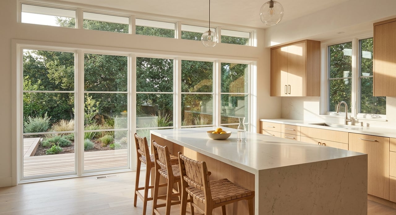
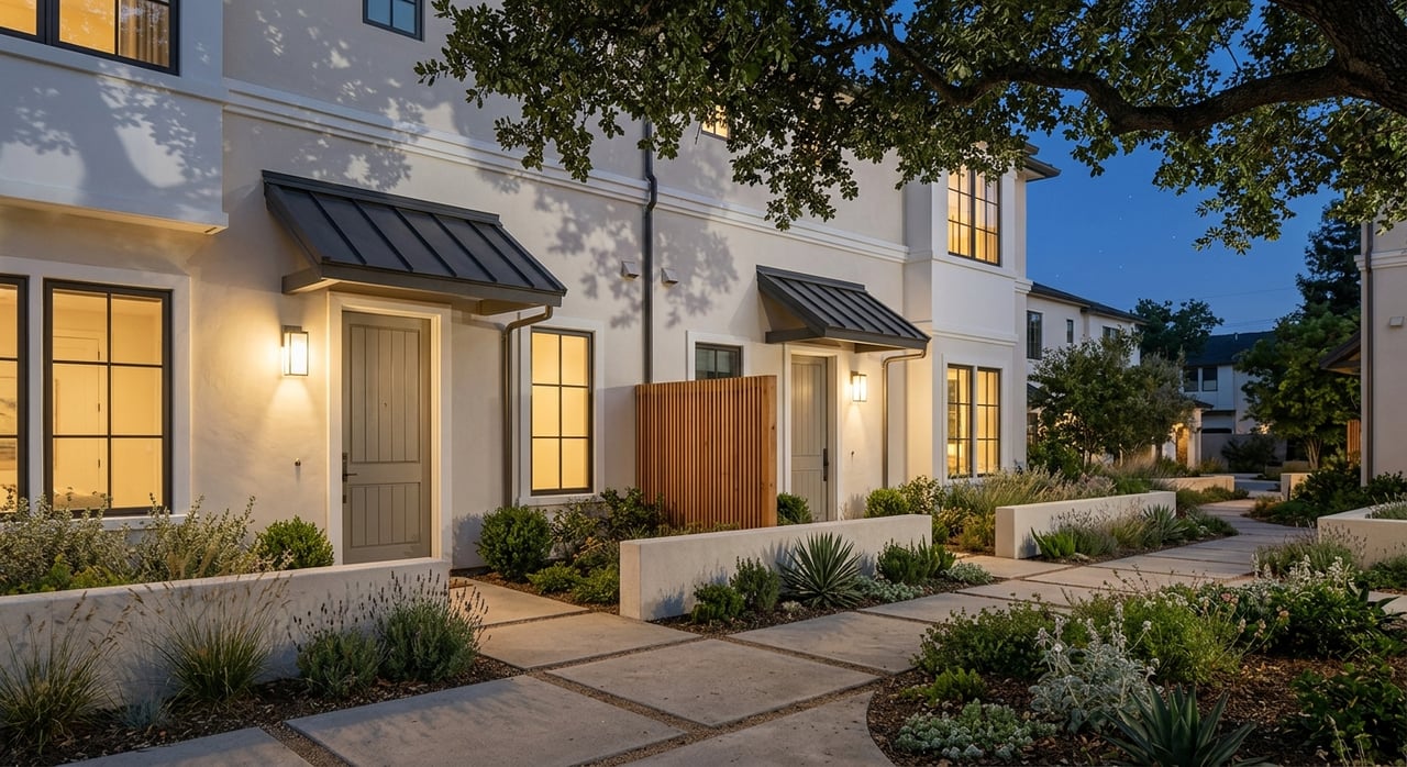
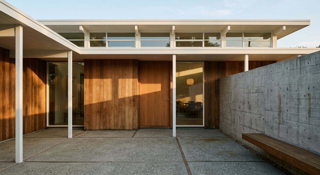
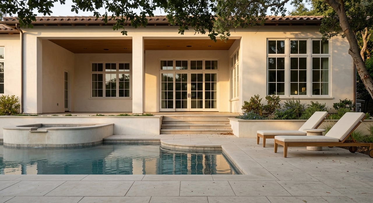
You will find a mix of waterfront condos, permitted floating-home slips, older hillside single-family homes, custom mid-century builds, modern view homes, and a few estates. True waterfront properties with pier access, permitted docks, or wide Golden Gate and city views often command substantial premiums. Sausalito is a low-inventory, high-price market, so median sales can swing month to month. Recent snapshots from late 2025 to early 2026 show medians in the low to mid seven figures, roughly the 1.3 to 1.4 million range. Expect variability, and verify the latest local data before you write an offer.
Waterfront living brings beauty and extra upkeep. Salt-laden air and wind exposure can accelerate corrosion of metal connectors and weather exterior finishes more quickly. Plan for tighter maintenance cycles for paint, flashing, railings, and deck coatings. The principles in the FEMA Coastal Construction Manual highlight why design and routine care matter near the water.
Insurance also works differently. Standard homeowner policies do not include flood coverage, which is typically purchased through the NFIP or private carriers. Earthquake insurance is sold separately in California. Get flood and earthquake quotes early in due diligence so you understand total carry costs for a specific address.
Sausalito sits on Richardson Bay, and regional planners identify notable exposure along low-lying shoreline areas over coming decades. Review the regional sea-level rise vulnerability map and then look at address-level tools such as the NOAA Sea Level Rise Viewer. The city and regional partners are advancing habitat restoration and adaptation projects. If you are buying on or near the water, factor long-term resilience into your decision.
Waterfront neighborhoods are charming and tight. Street parking is limited near downtown, and time limits are actively enforced. Sausalito uses resident permit zones, and rules can differ by block. Before you commit, check the city’s resident parking permit program and confirm options for your specific address. Ask how you will handle deliveries, guest parking, and ferry or bus connections during peak season.
The Golden Gate Ferry runs about 30 to 35 minutes into San Francisco, with multiple weekday and weekend departures. Many residents set their day around these run times. Start with the current Golden Gate Ferry schedules and confirm before you plan a commute. Driving across the Golden Gate Bridge is a short distance but varies in time with traffic and events, especially on weekends.
Golden Gate Transit and Marin Transit buses connect Sausalito to San Rafael and other Marin hubs. If you split your life between San Francisco, southern Marin, and central Marin, map out your weekly pattern. Try your door-to-door routes at the times you would actually travel to see where bottlenecks appear.
From Sausalito, you reach Mount Tam and Muir Woods in a short drive, traffic depending. Trails and scenic overlooks are a big reason people choose southern Marin. Muir Woods requires advance reservations for parking or the shuttle on most days, so plan ahead with the Muir Woods visitor planning page.
Residents kayak, stand-up paddle, and sail from local marinas and small operators. If you want to launch quickly, look for storage or easy roll-out access near your home. Community sails and bay events add seasonal rhythm, and summer weekends bring more visitor traffic. Plan your outings early for smooth parking and dock time.
The ferry makes city evenings simple. Many locals enjoy dining in San Francisco and coming home by boat under the bridge. On summer weekends, expect more tourists around the waterfront and adjust your timing to keep it relaxed.
Use this short list to pressure-test fit and budget before you write an offer:
Waterfront living in Sausalito delivers daily contact with the bay, walkable dining on Bridgeway, and quick access to world-class nature in Marin. In return, you plan for salt-air upkeep, tight parking, and informed choices about sea-level, insurance, and hillside resilience. With clear expectations and the right address, you get a lifestyle that feels both easy and inspiring.
If you want a trusted, high-touch partner to calibrate microclimates, due diligence, and long-term value, connect with Emily Schaffer for a private consultation.
Stay up to date on the latest real estate trends.


Get assistance in determining current property value, crafting a competitive offer, writing and negotiating a contract, and much more. Contact me today.